Customer: Ohio Department of Transportation
Partner: Cultivate Geospatial Solutions
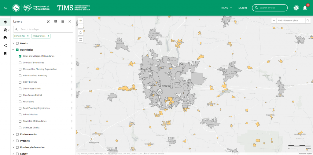
Working with our partner Cultivate Geospatial Solutions, ATS was pivotal in the development and modernization of the Ohio Department of Transportation’s (ODOT) Transportation Information Mapping System (TIMS). TIMS is a comprehensive web-mapping portal that allows users to explore Ohio’s transportation system, create maps, and share information. While the data provided is sourced from various ODOT offices and is intended for planning purposes, our efforts have significantly improved its accessibility and usability.
ATS was responsible for developing the front-end user interface components, ensuring a modern and intuitive experience for users. We also integrated the backend GIS system, enabling seamless interaction with a wide range of transportation-related GIS datasets. These enhancements allow users to visualize complex data easily and effectively.
Additionally, ATS’ development efforts have introduced robust map-building and viewing capabilities to TIMS. Users can now visualize pre-made groups of layers, create custom maps using various GIS layers, and print maps directly from the portal. These features make TIMS a powerful tool for planning and analysis, supporting ODOT’s mission to provide accurate and useful transportation information to the public.